Summary
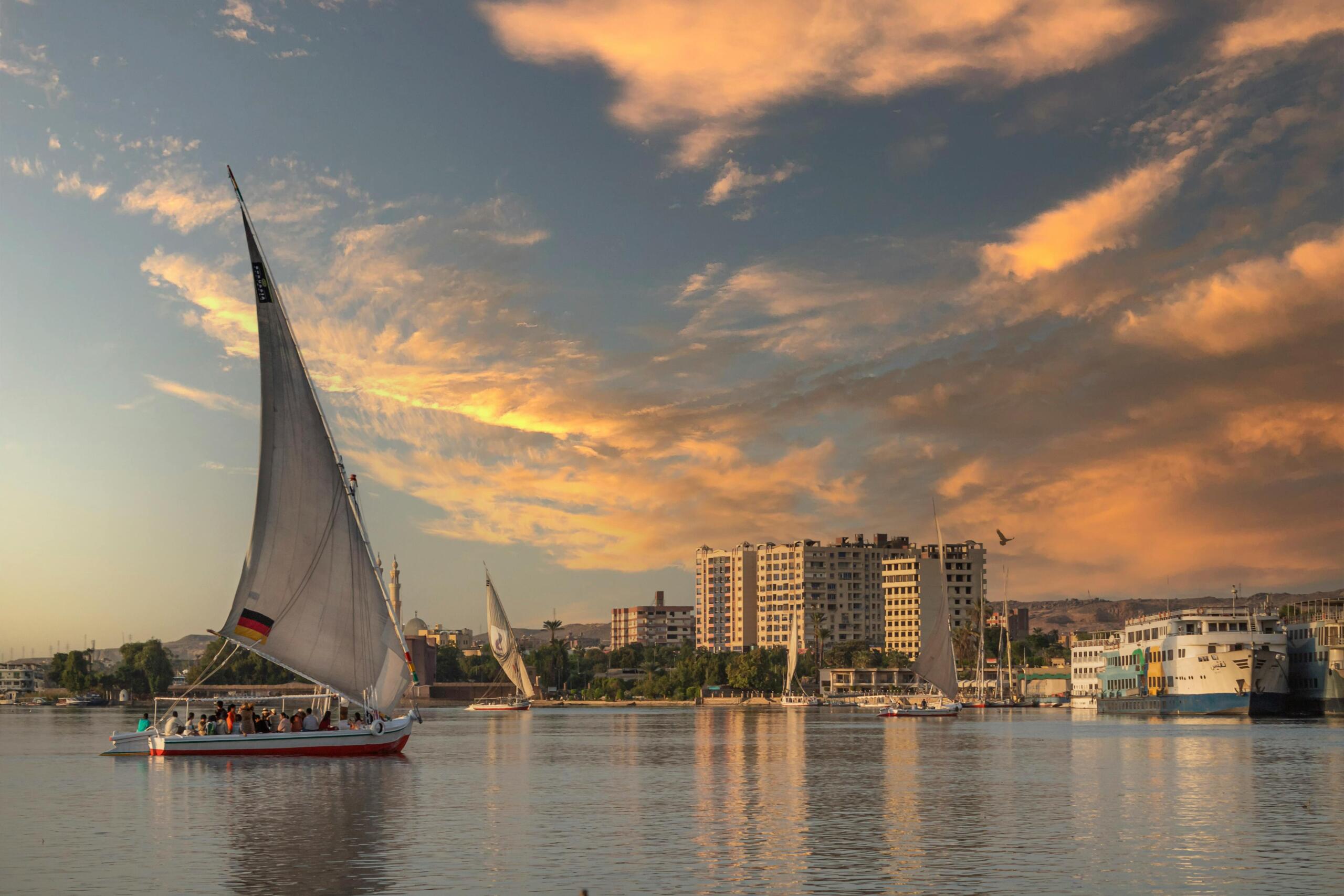
Ancient Egypt was a long, narrow country: the valley and delta of the Nile, a green ribbon running about 1,000 km through the desert from Aswan to the Mediterranean. Almost every town, temple and tomb stood within a few kilometres of the river. The Egyptians called their fertile land Kemet, “the black land”, after the dark Nile mud, and the desert around it Deshret, “the red land”. The map below shows the main capitals and sites; for today’s cities and resorts see our modern map of Egypt.
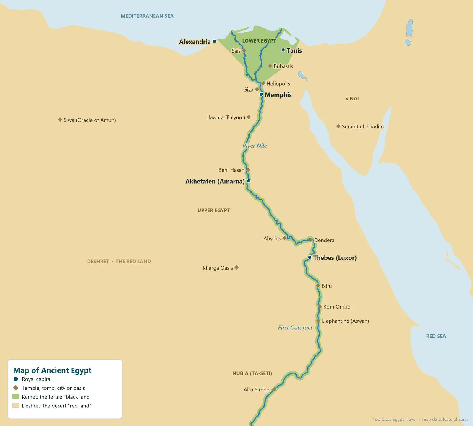
The Two Lands: Upper and Lower Egypt
The Egyptians always thought of their country as two lands joined under one king:
- Lower Egypt (Ta-Mehu): the broad, marshy delta in the north, where the Nile splits into branches before reaching the sea. Its symbol was the papyrus and its crown was red.
- Upper Egypt (Ta-Shemau): the narrow valley in the south, from near Memphis to Aswan. Its symbol was the lotus and its crown was white.
“Upper” means upstream: the Nile flows north, so Upper Egypt is in the south. Tradition credits King Narmer with uniting the two lands around 3100 BC, and kings ever after wore the double crown. The country was divided into 42 provinces, called nomes by the Greeks: 22 in Upper Egypt and 20 in Lower Egypt.
The Capitals of Ancient Egypt
The royal capital moved many times in 3,000 years:
| Capital | Period | Where it is today |
|---|---|---|
| Memphis | Early Dynastic and Old Kingdom (from about 3100 BC) | Mit Rahina, south of Cairo, near Giza and Saqqara |
| Thebes | Middle and New Kingdom religious capital | Luxor |
| Itjtawy | 12th Dynasty | Near el-Lisht, south of Memphis (site not yet found) |
| Akhetaten | Reign of Akhenaten, about 1346–1332 BC | Tell el-Amarna |
| Pi-Ramesses | Ramesses II and the 19th Dynasty | Qantir, eastern Delta |
| Tanis | 21st and 22nd Dynasties | San el-Hagar, eastern Delta |
| Sais | 26th Dynasty | Sa el-Hagar, western Delta |
| Alexandria | Ptolemaic period (from 331 BC) | Alexandria |
Nubia and the Cataracts
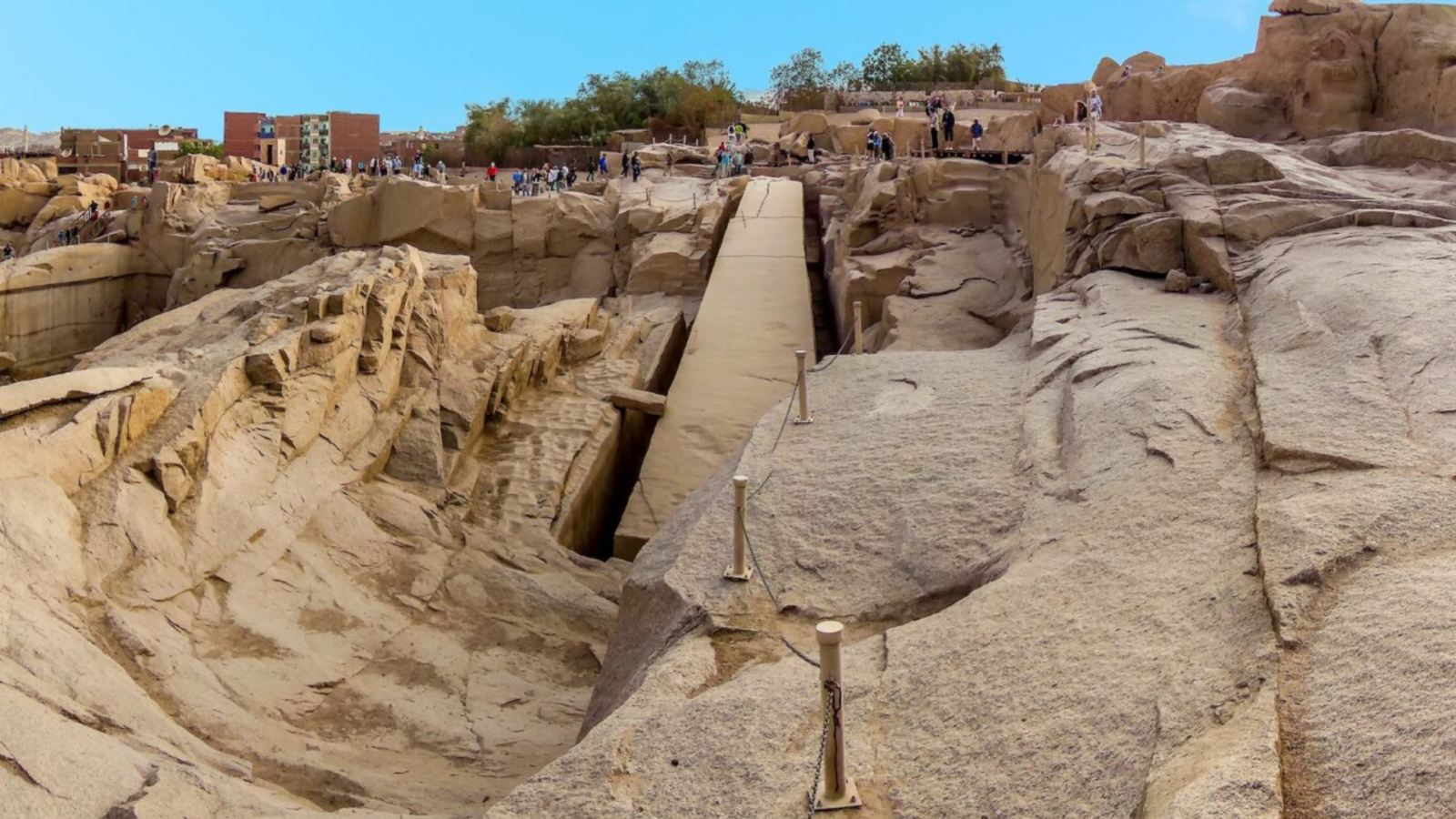
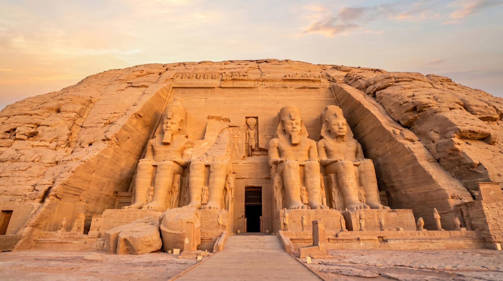
South of Aswan the Nile is broken by cataracts, stretches of rapids over granite rocks. The First Cataract at Aswan marked Egypt’s traditional southern border; beyond it lay Nubia, which the Egyptians called Ta-Seti, “the land of the bow”, after its famous archers. Nubia was a source of gold, ivory, ebony and soldiers, and New Kingdom pharaohs pushed the frontier far south, building temples such as Abu Simbel. Later the Nubian kings of Kush ruled Egypt itself as the 25th Dynasty.
8-Day Cairo, Siwa and White & Black Desert Adventure
Planning the trip itself? Start here.
View This TripDeserts, Oases and Sinai
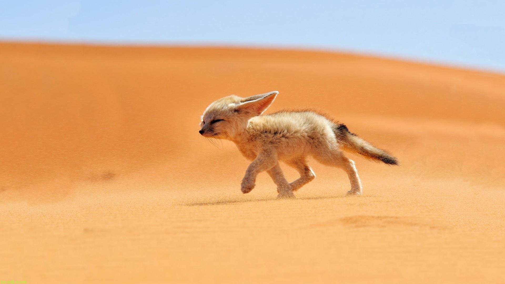
- The Western Desert was dotted with oases, among them Siwa, home of the oracle of Amun visited by Alexander the Great, and Kharga, on the caravan routes to the south.
- The Eastern Desert, between the Nile and the Red Sea, supplied gold and fine stone; from its ports expeditions sailed to the land of Punt, like the one shown in Hatshepsut‘s temple.
- Sinai held the turquoise and copper mines of Serabit el-Khadim, with a temple of Hathor, “Lady of Turquoise”.
- The Faiyum, a lake basin west of the Nile, was turned into farmland by the Middle Kingdom kings, who built pyramids nearby at Hawara and el-Lahun.
Where to See the Sites on the Map Today
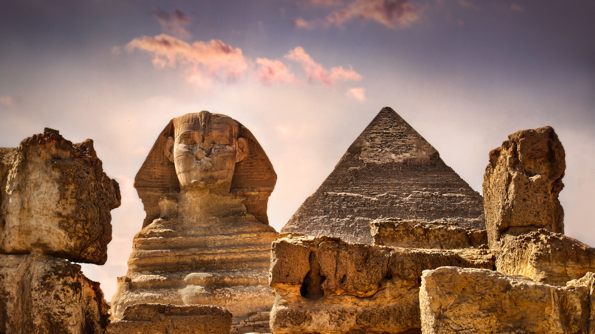
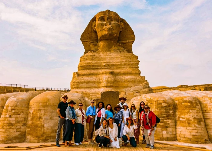
- Cairo and Giza: the Giza Pyramids, Saqqara and the Memphis open-air museum.
- Middle Egypt: the rock tombs of Beni Hasan and the city of Amarna.
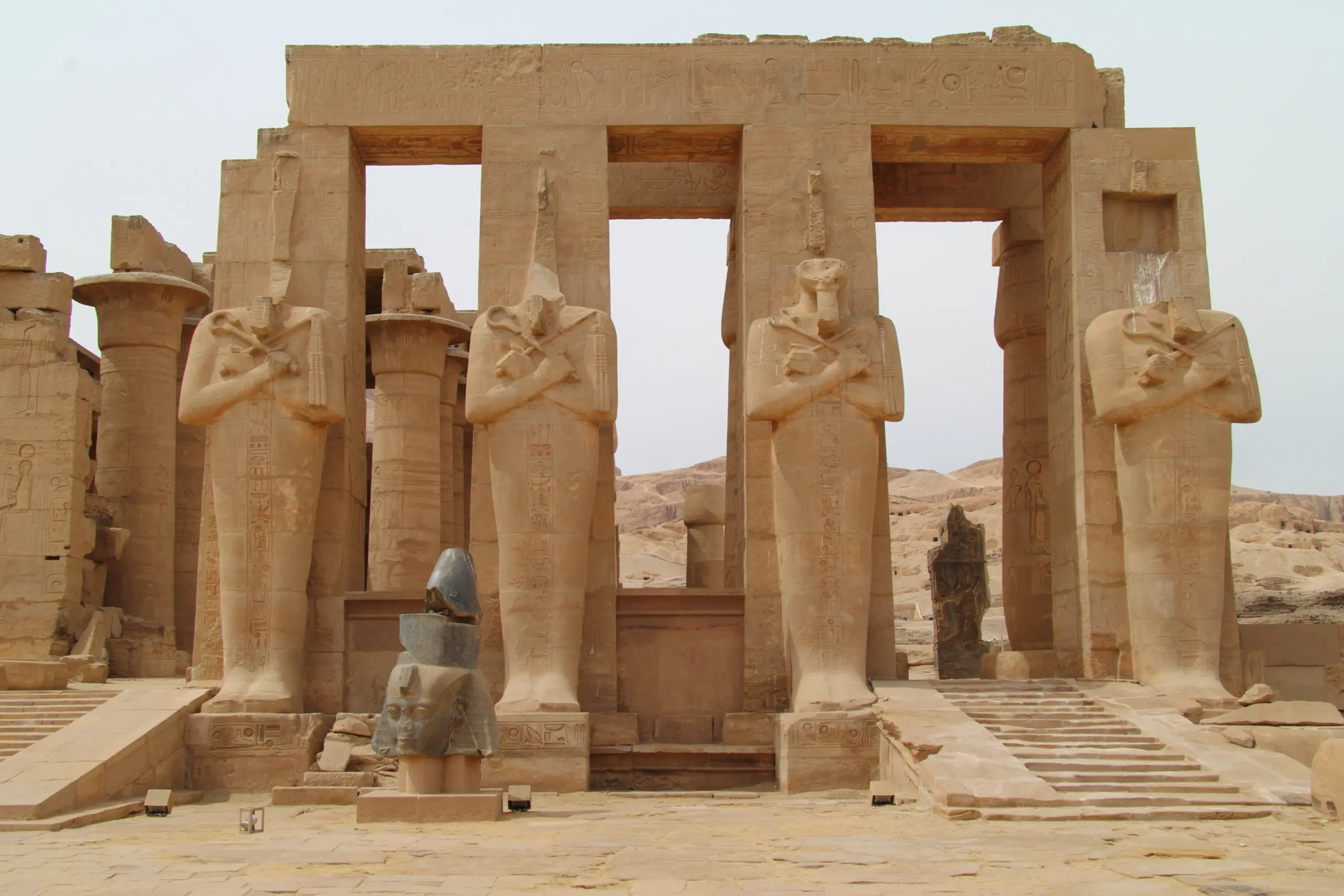
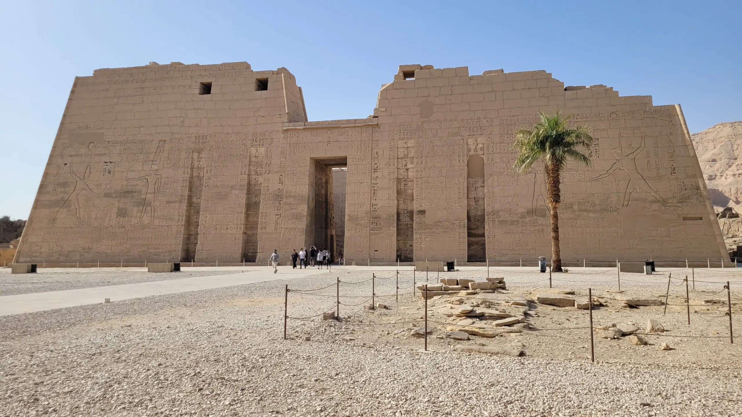
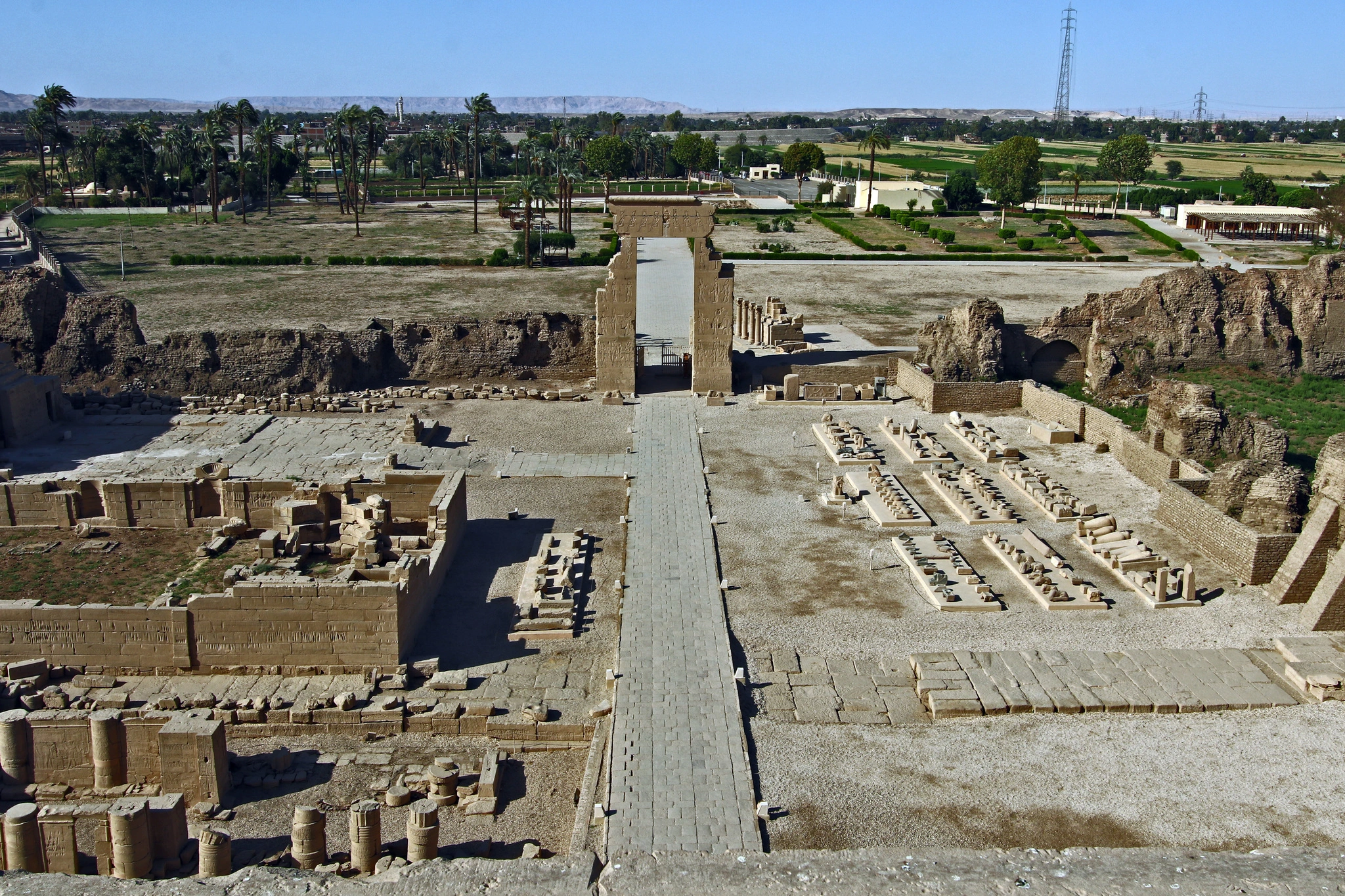
- Luxor: Karnak and the Valley of the Kings, with Abydos and Dendera to the north.
- Between Luxor and Aswan: Edfu and Kom Ombo, both on the Nile cruise route.
- Aswan and Nubia: Elephantine Island, Philae and Abu Simbel.
Read more about the river that made it all possible in the Nile River guide, and about the rulers in Egyptian pharaohs.
Map of Ancient Egypt: FAQ
Where was ancient Egypt?
Along the Nile valley and delta in north-east Africa, from the First Cataract at Aswan to the Mediterranean, roughly the populated part of modern Egypt.
What were Upper and Lower Egypt?
The two halves of the kingdom: Upper Egypt was the southern Nile valley, Lower Egypt the northern delta. They were united around 3100 BC.
Why is Upper Egypt in the south?
Because the Nile flows north, so upstream (“upper”) is south.
What was the capital of ancient Egypt?
Memphis for most of early history, Thebes in the Middle and New Kingdoms, and Alexandria under the Ptolemies, among others.
What do Kemet and Deshret mean?
Kemet, “the black land”, was the fertile Nile valley; Deshret, “the red land”, was the desert around it.
Can I use this map of ancient Egypt?
Yes. You are welcome to use it in a school project or on your own site, as long as you credit Top Class Egypt Travel with a link to this page.