

Attraction Details
Overview
Tell el-Amarna
Tell el-Amarna (known in antiquity as Akhetaten, ‘Horizon of the Aten’) is the archaeological site of the short-lived capital city built by Pharaoh Akhenaten in the 14th century BCE on a virgin site on the east bank of the Nile in Middle Egypt. Akhenaten founded the city around 1346 BCE as the center of his revolutionary religious reforms, which replaced the traditional Egyptian polytheistic pantheon with the exclusive worship of the Aten — the solar disc — and relocated the entire royal administration, priesthood, and population of the previous capital Thebes to this new city. The city was occupied for approximately 16 years before being abandoned following Akhenaten’s death.
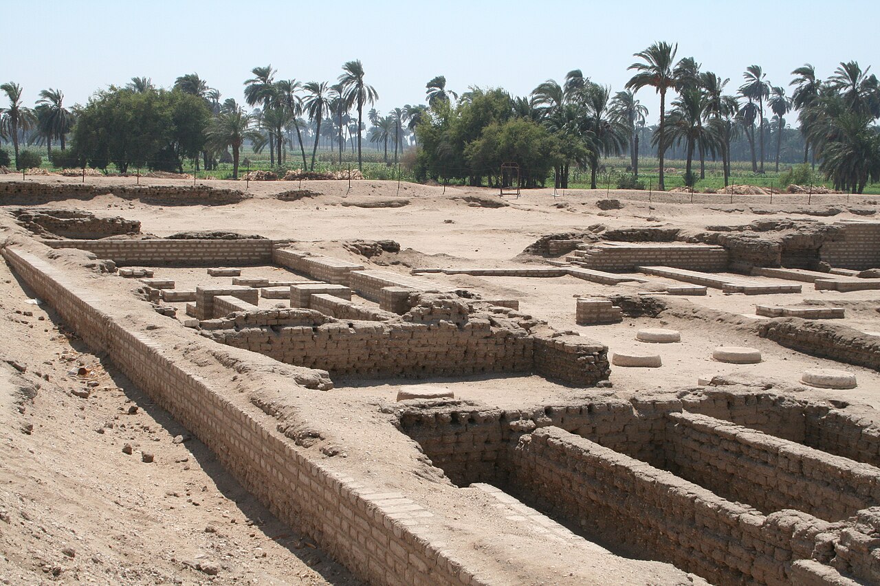
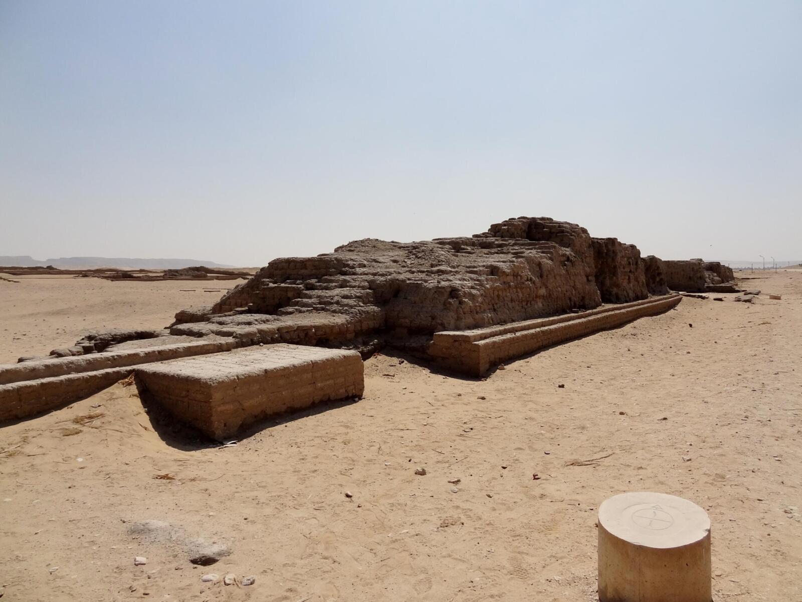
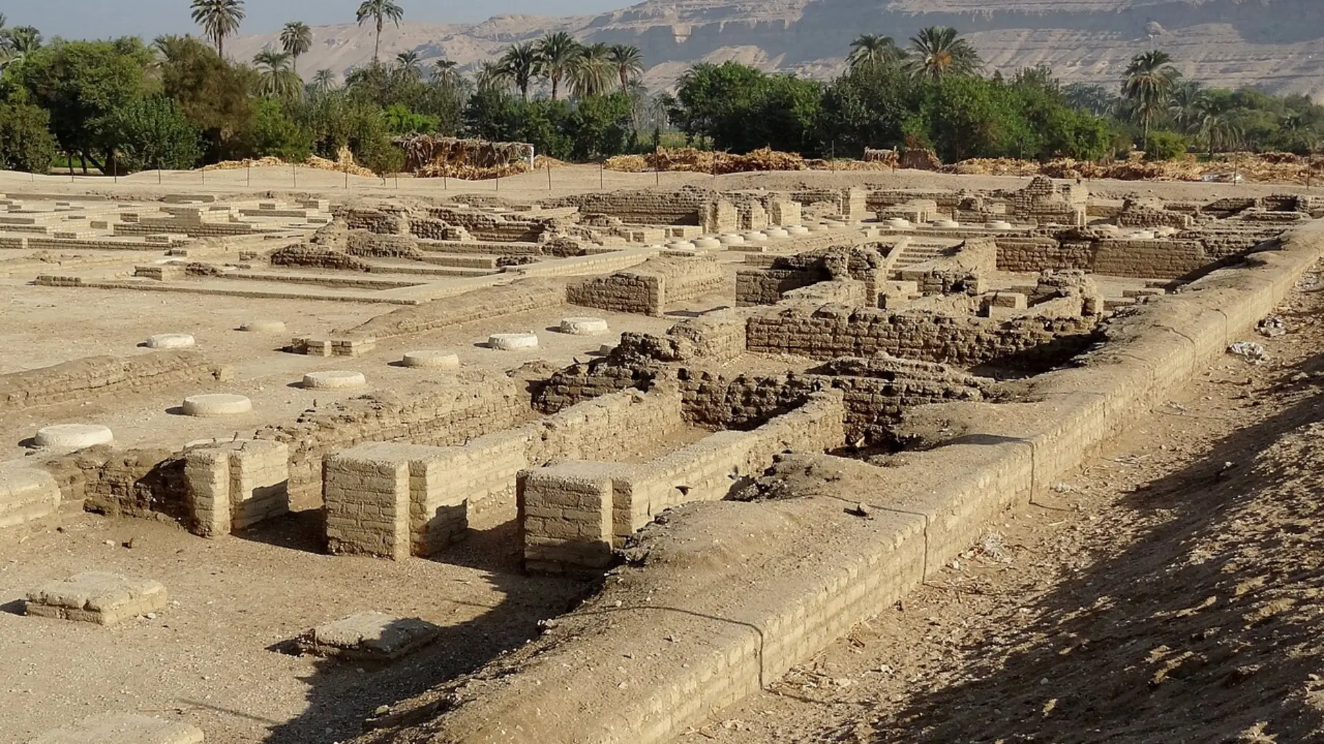
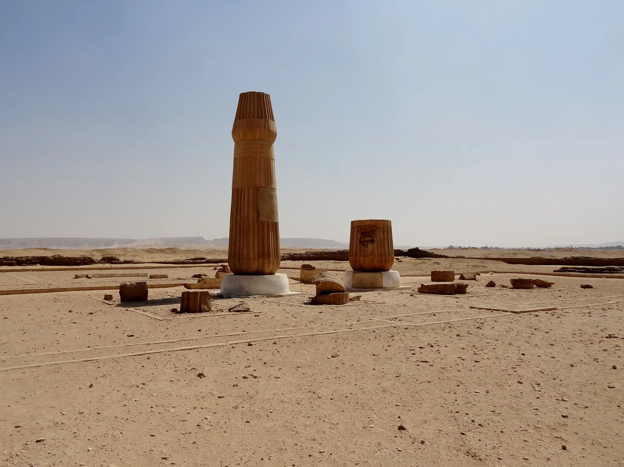
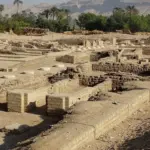
Today the site preserves the outlines of streets, palaces, temples, and residential areas visible at ground level as low mudbrick foundations and debris fields, spread across approximately 12 km of desert plain between the river and the eastern cliffs. The Royal Tomb of Akhenaten is cut into the cliffs, and a series of decorated private tombs — known as the North Tombs and South Tombs — belong to senior officials of Akhenaten’s court and contain some of the most unusual relief carvings in Egyptian art, showing the distinctive ‘Amarna style’ with its elongated figures, naturalistic family scenes, and devotional compositions focused on the Aten’s rays.
Amarna is one of the most important archaeological sites in Egypt for understanding a brief but transformative period in Egyptian history, and ongoing excavations by international teams continue to yield significant discoveries about daily life, religious practice, and the health and social conditions of the city’s population.
History & Significance
Akhenaten founded Akhetaten around 1346 BCE on a desert plain in Middle Egypt, consecrated by boundary stelae carved into the cliffs that still survive today. The city reached a population of approximately 20,000–50,000 within a decade and contained palaces, a great Aten temple, administrative buildings, a records archive (the Amarna Letters — 382 clay tablets containing diplomatic correspondence found in 1887), and an extensive residential zone.
Following Akhenaten’s death, his successors including Tutankhamun restored the traditional cults and returned the capital to Thebes. The city was systematically demolished and its population dispersed. This erasure has paradoxically preserved a remarkable archaeological snapshot — since the city was built, used, and abandoned within approximately 16 years, its remains represent a single time horizon with no subsequent overbuilding.
The Amarna Letters, found at the site in 1887, are 382 clay tablets in Akkadian cuneiform recording the diplomatic correspondence of Akhenaten and his father Amenhotep III with rulers of Babylon, Assyria, Mitanni, and the Levantine city-states — one of the most important diplomatic archives from the ancient Near East.
What to See
North Tombs of Officials
Six decorated rock-cut tombs of senior Amarna court officials, with relief carvings in the distinctive elongated Amarna style showing the royal family, temple rituals, and everyday court life.
South Tombs
A second group of official tombs to the south, including the tomb of Ay (who later became pharaoh), which contains the longest surviving version of the Great Hymn to the Aten inscribed on a wall.
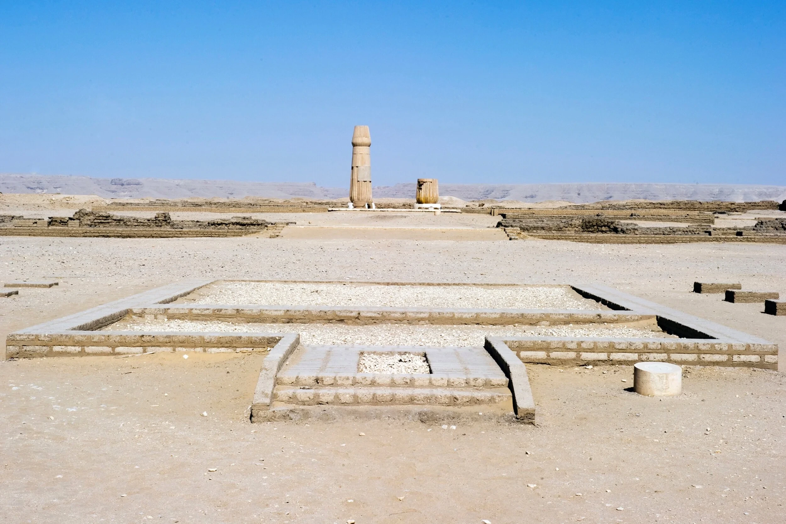
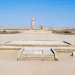
Great Aten Temple Outlines
The mudbrick outlines of the Great Aten Temple — once the largest Aten sanctuary, over 800 meters long — are visible as ground-level foundations across the desert plain.
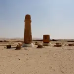
Boundary Stelae
Rock-cut stelae carved into the cliffs at the perimeter of the ancient city, recording Akhenaten's oath to build and never abandon the city — several are still clearly legible.
Royal Tomb of Akhenaten
The unfinished tomb cut into the Royal Wadi in the eastern cliffs — severely damaged, but still preserving carved scenes of the royal family and the Amarna style in its surviving walls.
Photo Gallery


Visitor Information
Daily 8:00 AM – 5:00 PM
⛔ Closed: NeverModest dress required
Photography is free
Limited accessibility
💡 Visitor Tips
Location & Map
🚕 How to Get There
Located on the east bank of the Nile approximately 58 km south of Minya city; cross from the west bank by ferry at Deir Mawas (LE 2), then hire a local vehicle to access the widely spread site — private driver from Minya strongly recommended.