Summary
Egypt lies in the north-east corner of Africa, with the Sinai Peninsula reaching into Asia. It borders Libya to the west, Sudan to the south, and Israel and the Gaza Strip to the north-east, with the Mediterranean Sea along its north coast and the Red Sea along its east. Almost all of its people, cities and ancient monuments line one narrow green strip: the valley and delta of the River Nile, which crosses the whole country from south to north. The map below shows where everything is.
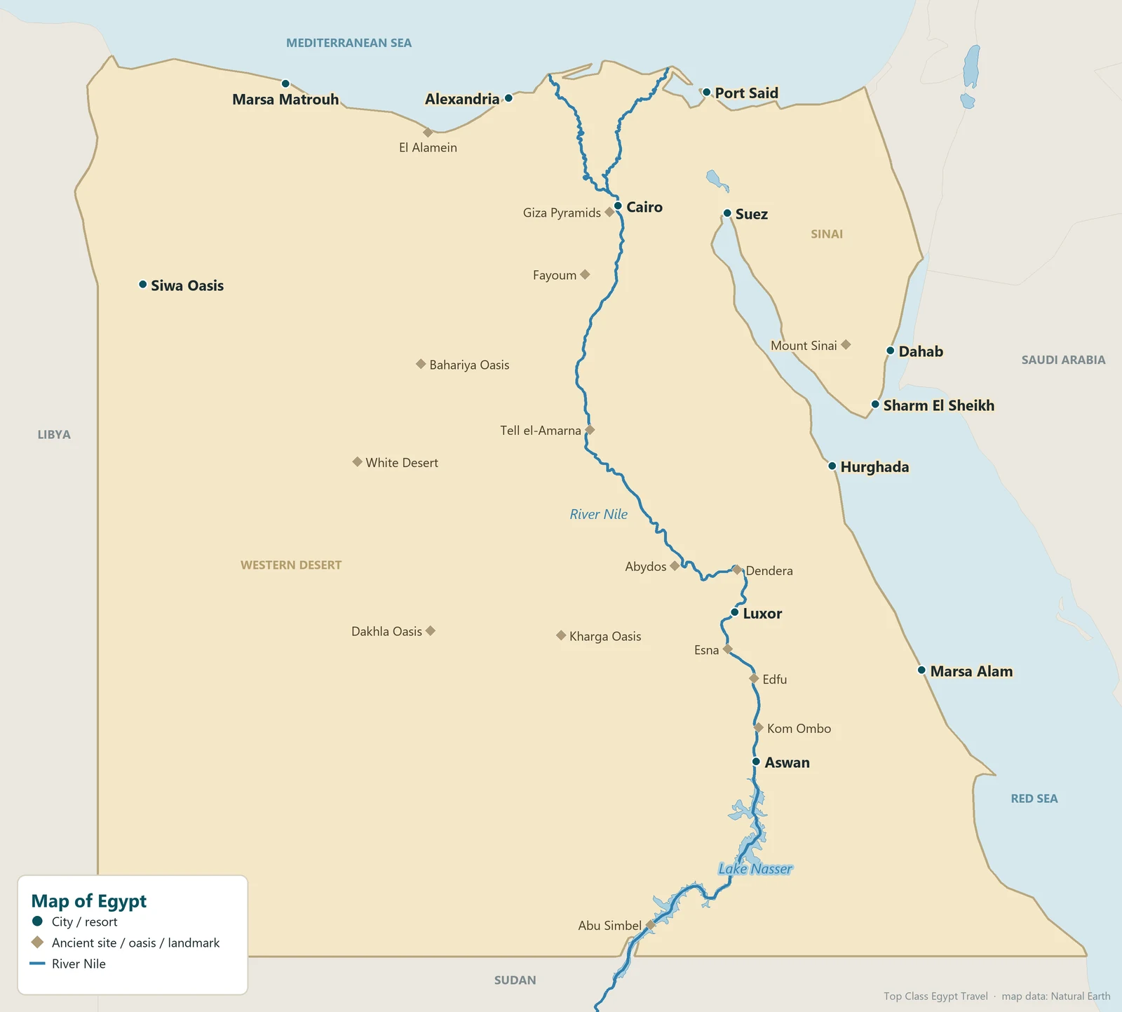
Egypt at a Glance
- Capital: Cairo, at the point where the Nile valley opens into the delta.
- Area: about 1 million km², roughly the size of France and Spain together, but more than 90% of it is desert.
- Population: over 100 million, the great majority living along the Nile valley and in the delta.
- Two continents: mainland Egypt is in Africa; Sinai, east of the Suez Canal, is in Asia.
- Two seas: the Mediterranean to the north and the Red Sea to the east, joined by the Suez Canal, opened in 1869.
- The Nile: enters Egypt from Sudan through Lake Nasser and flows about 1,500 km north to the Mediterranean. Read the full story in the Nile River guide.
The Regions of Egypt
Travellers usually think of Egypt in five regions:
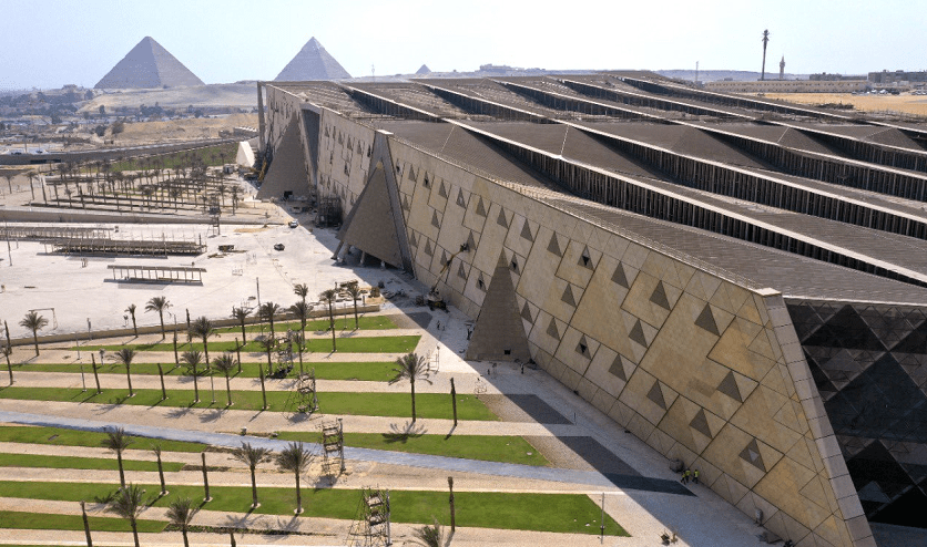
- Cairo and Giza: the capital, the Giza Pyramids, Saqqara and the great museums. See top Cairo attractions.
- The Nile Valley (Upper Egypt): Luxor, Aswan and the temples between them, best seen on a Nile cruise, with Abu Simbel near the Sudan border.
- The Delta and the Mediterranean coast: Alexandria, El Alamein and Marsa Matrouh.
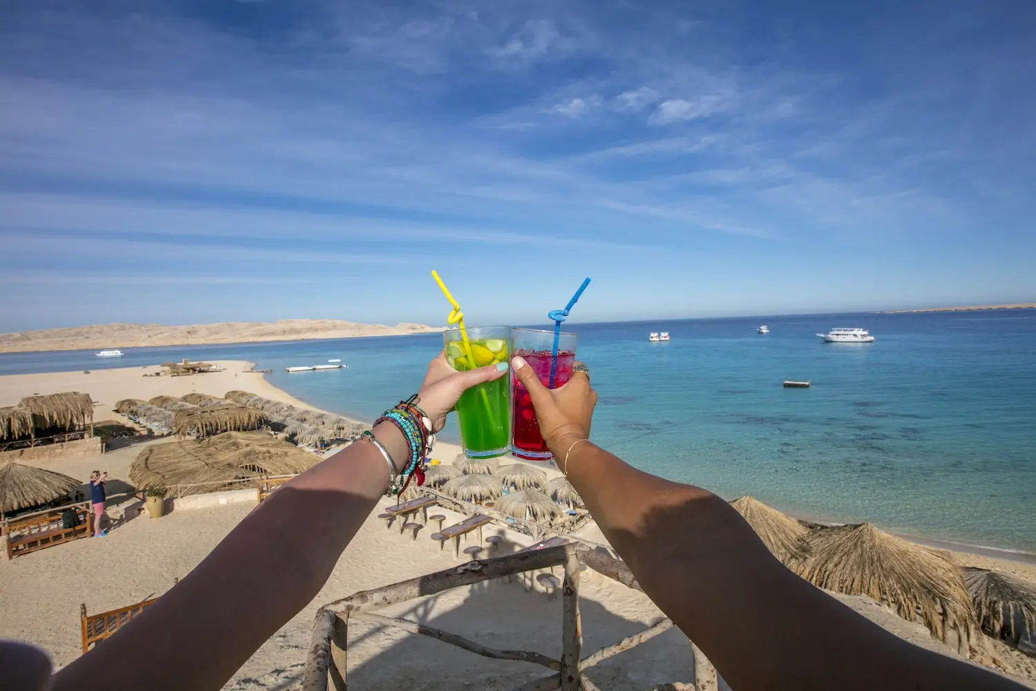
- The Red Sea and Sinai: beach and diving resorts such as Hurghada, Marsa Alam, Sharm El Sheikh and Dahab, and Mount Sinai.
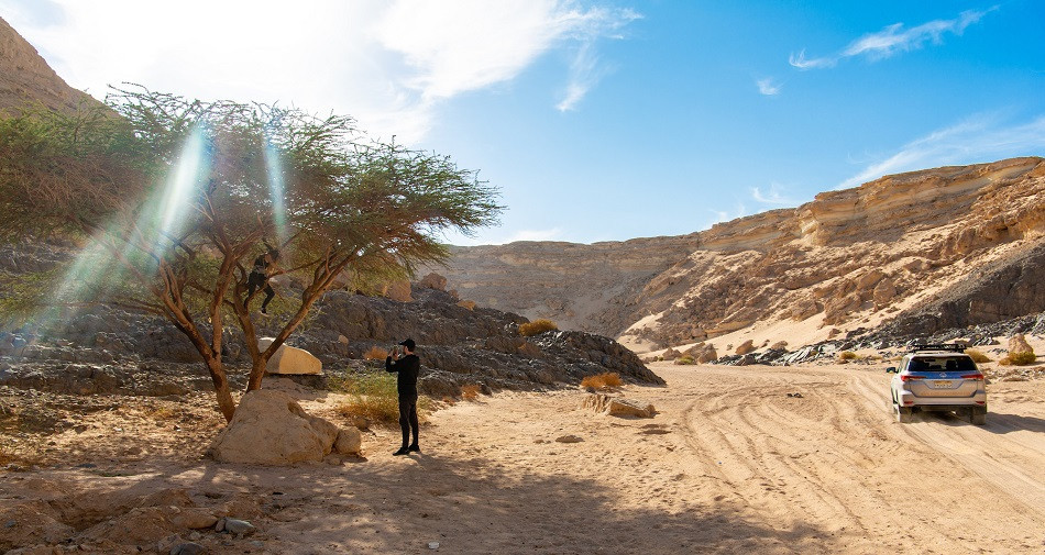
- The Western Desert: the oases of Siwa, Bahariya, Farafra, Dakhla and Kharga, and the chalk formations of the White Desert.
Why Upper Egypt Is in the South
One thing confuses almost every visitor reading a map of Egypt: Upper Egypt is the south and Lower Egypt is the north. The names follow the river, not the compass. The Nile flows from south to north, so “upper” means upstream, towards Luxor and Aswan, and “lower” means downstream, towards Cairo and the delta. The ancient kings wore a double crown for the two lands, united around 3100 BC by King Narmer.
Distances From Cairo
Approximate distances by road and typical travel times:
| Place | Region | From Cairo | Fastest way |
|---|---|---|---|
| Giza Pyramids | Cairo | 20 km | 30–60 min by car |
| Alexandria | Mediterranean | 220 km | 2.5–3 h by road or train |
| Luxor | Nile Valley | 650 km | 1 h flight, or overnight sleeper train |
| Aswan | Nile Valley | 870 km | 1 h 20 min flight |
| Abu Simbel | Near Sudan | 280 km south of Aswan | 3.5 h by road from Aswan, or a short flight |
| Hurghada | Red Sea | 460 km | 1 h flight or 5–6 h by road |
| Sharm El Sheikh | Sinai | 500 km | 1 h flight |
| White Desert | Western Desert | 500 km | 5–6 h by 4×4 via Bahariya |
| Siwa Oasis | Western Desert | 750 km | 9–10 h by road via Marsa Matrouh |
Distances are rounded; road times depend on traffic and checkpoints.
8-Day Cairo, Siwa and White & Black Desert Adventure
Planning the trip itself? Start here.
View This TripGetting Around Egypt
- Domestic flights link Cairo with Luxor, Aswan, Abu Simbel, Hurghada, Sharm El Sheikh and Marsa Alam in about an hour.
- Sleeper trains run overnight from Cairo and Giza to Luxor and Aswan.
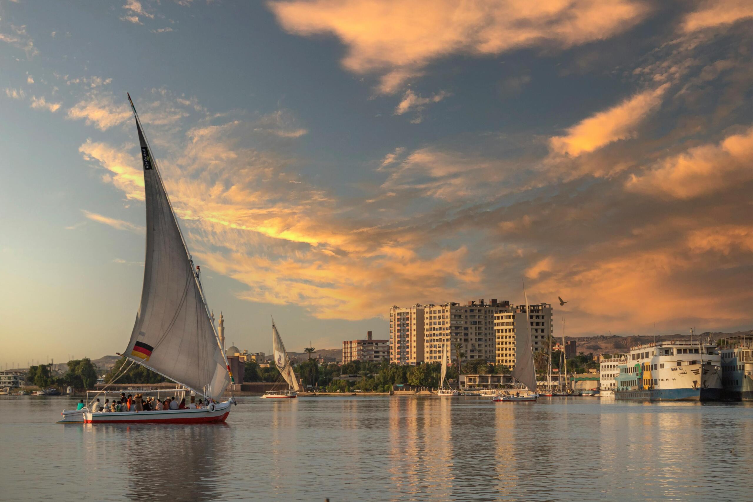
- A Nile cruise between Luxor and Aswan, 3 to 4 nights, stops at Esna, Edfu and Kom Ombo on the way.
- By road, the Red Sea resorts are about 3 hours from Luxor, which is why many trips combine the temples with a beach stay.
For ready-made routes across the map, see the 7-day and 10-day itineraries, or the best time to visit Egypt.
Where Are the Pyramids and Temples on the Map?
The pyramids stand on the desert edge west of the Nile, from Abu Rawash north of Giza to Meidum near the Fayoum; the best known are at Giza, Saqqara and Dahshur, all within an hour of central Cairo. See the full list in where the pyramids are in Egypt.
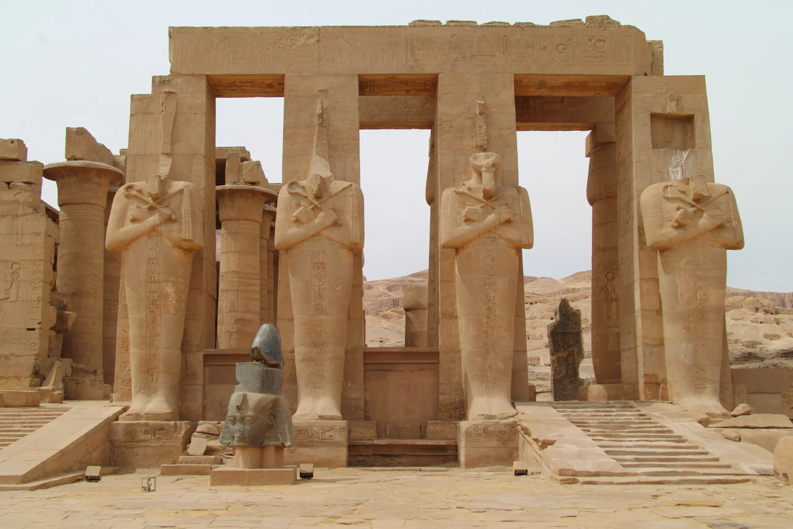
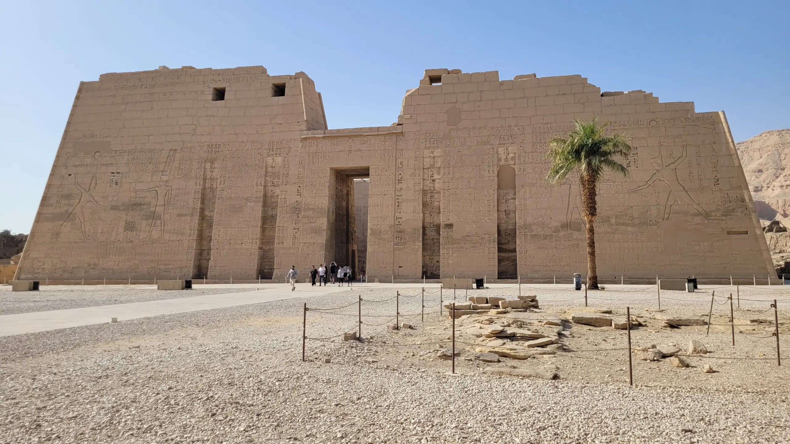
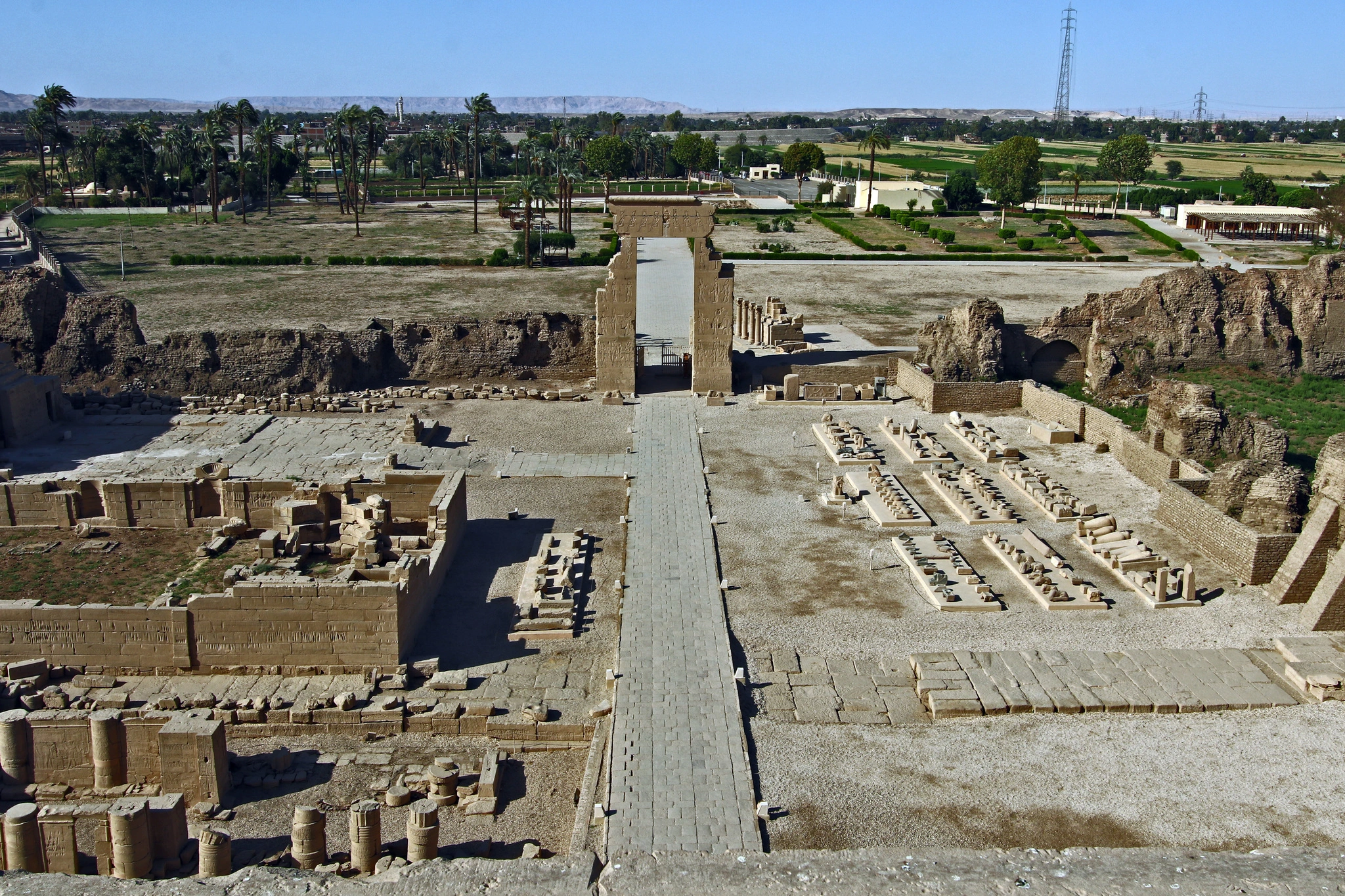
The great temples follow the river south: Abydos and Dendera north of Luxor; Karnak, Luxor Temple and the Valley of the Kings at Luxor; Edfu and Kom Ombo on the way to Aswan; Philae at Aswan; and Abu Simbel on Lake Nasser. Browse them all in Egypt’s temples and sacred sites.
Egypt Map: FAQ
Where is Egypt located?
In the north-east corner of Africa, on the Mediterranean and Red Seas, with the Sinai Peninsula in western Asia.
Is Egypt in Africa or the Middle East?
Both: it is an African country, and it is also usually counted as part of the Middle East and the Arab world.
What countries border Egypt?
Libya to the west, Sudan to the south, and Israel and the Gaza Strip to the north-east.
How far is Luxor from Cairo?
About 650 km: a one-hour flight or an overnight sleeper train.
Why is southern Egypt called Upper Egypt?
Because the Nile flows north: “upper” means upstream, towards the south.
Can I use this map of Egypt?
Yes. You are welcome to use it on your own site or in a school project, as long as you credit Top Class Egypt Travel with a link to this page.